Solar Elevation Angle Calculator
Estimate the Sun's elevation angle, zenith angle, shadow-length ratio, daylight flag, solar time, sunrise, and sunset from latitude, longitude, date, clock time, and UTC offset.
| Latitude | March or Sept Equinox | June Solstice | December Solstice |
|---|---|---|---|
| 0° equator | 90.0° | 66.6° | 66.6° |
| 23.4° N | 66.6° | 90.0° | 43.1° |
| 40.7° N | 49.3° | 72.8° | 25.9° |
| 51.5° N | 38.5° | 61.9° | 15.0° |
| 66.5° N | 23.5° | 46.9° | 0.1° |
| 33.9° S | 56.1° | 32.7° | 79.5° |
| Solar elevation | Shadow length / height | Solar reading | Field note |
|---|---|---|---|
| 5° | 11.43 | Very low | Long shadows dominate |
| 10° | 5.67 | Low | Strong obstruction risk |
| 20° | 2.75 | Moderate low | Good for shade checks |
| 30° | 1.73 | Mid | Useful winter benchmark |
| 45° | 1.00 | Balanced | Shadow equals height |
| 60° | 0.58 | High | Short shadow geometry |
| 75° | 0.27 | Very high | Near overhead sun |
| Threshold | Solar elevation h | Common label | Calculator use |
|---|---|---|---|
| Geometric horizon | 0° | Center above horizon | Pure trigonometry daylight |
| Visible sunrise | -0.833° | Sun edge plus refraction | Typical almanac daylight |
| Civil twilight | -6° | Bright twilight | Outdoor visibility estimate |
| Nautical twilight | -12° | Sea horizon twilight | Navigation-style threshold |
| Astronomical twilight | -18° | Dark-sky threshold | Night-sky planning |
| Case | Longitude vs meridian | Clock correction | Meaning |
|---|---|---|---|
| On meridian | 0° | 0 min plus EoT | Clock noon near solar noon |
| 5° east | +5° | +20 min plus EoT | Sun reaches noon earlier |
| 5° west | -5° | -20 min plus EoT | Sun reaches noon later |
| UTC offset mismatch | 15° per hour | 60 min per zone hour | Check daylight saving offset |
| Equation of time | Date dependent | about -14 to +16 min | Earth orbit and axial tilt effect |
A light bulb is a constant source of light. A light switch isn’t.
The sun is a moving light source that arcs around our sky based off its elliptical path and the tilt of our earth. Because of this, the position of the sunlight through your window shift by several degrees and minutes every hour. Geometry governs energy. Understanding solar elevation doesn’t require formulas to remember; it requires a basic understanding of what geometry are doing. Once you understand where the actual sun is (not where your clock tells you the sun “should” be) you begin to plan precisely instead of guess.
How to Understand Sunlight Angles
Here’s why most people get this wrong: They think solar noon occur at twelve o’clock. After setting your location and time, the calculator do all the hard work for you. It turns the rough coordinates into something easier to use: the ratio of shade vs sunlight (shadow ratios), as well as the angle between the sun and straight overhead (the zenith angle). But how will any of that help you unless you know what these numbers mean?
First, latitude, meaning your north/south address; is most important. It determine how high the sun can goes above the horizon at its highest point. Longitude, on the other hand, is frequent overlooked, but it is very important for when the sun’s high. Because the sun “rises” in the east, living east of your local time zone’s central meridian means that solar noon come before solar noon on the wall clock. This discrepancy, called the equation of time, is built right into the tool, which corrects based off how fast the earth moves through its uneven orbit. Otherwise, the position of the sun you calculate might be wrong by up to 15 minutes or even more. And that’s a huge difference if you’re attempting to steer clear of a neighbor’s shadow.
Let’s contrast that visible sunlight with the geometry of sunlight. On the calculator you have an option to specify a daylight threshold, which modifies when sunrise (and sunset) occur. By default we assume traditional visible horizon, which takes into account atmospheric refraction. As light passes through the atmosphere, it bends, so we are able to see the sun while it remains below its physical position along the geometric horizon. This is part of why summers seem longer then pure planetary motion implies. Because air is effectively a lens, you get a few more twilight minutes, as the sun continues to shine on your facade even after the math say it is dark. That is significant if you are an architect, or photographer. What looks good on paper, designed against the geometric horizon, may not work out in reality.
For those who work in real space, maybe the most useful output is the shadow length. People is surprised to find out that shadow length doesn’t scale linearly with sun height. A little shift in sun angle produces almost no change in shadow at high sun, but just below the horizon, it’s like pulling a string and making your shadow grow (or shrink) dramatic long. The page includes a chart of relative shadow lengths; you can see how a 5 degree elevation causes a shadow to be over 11 times as long as the thing casting it. That’s what makes winter so tricky to plan. If you’re wrong by a little bit in summer, it hardly seems to matter. In winter, a little miscalculation could of mean the difference between a sunny patio and a shaded cold one.
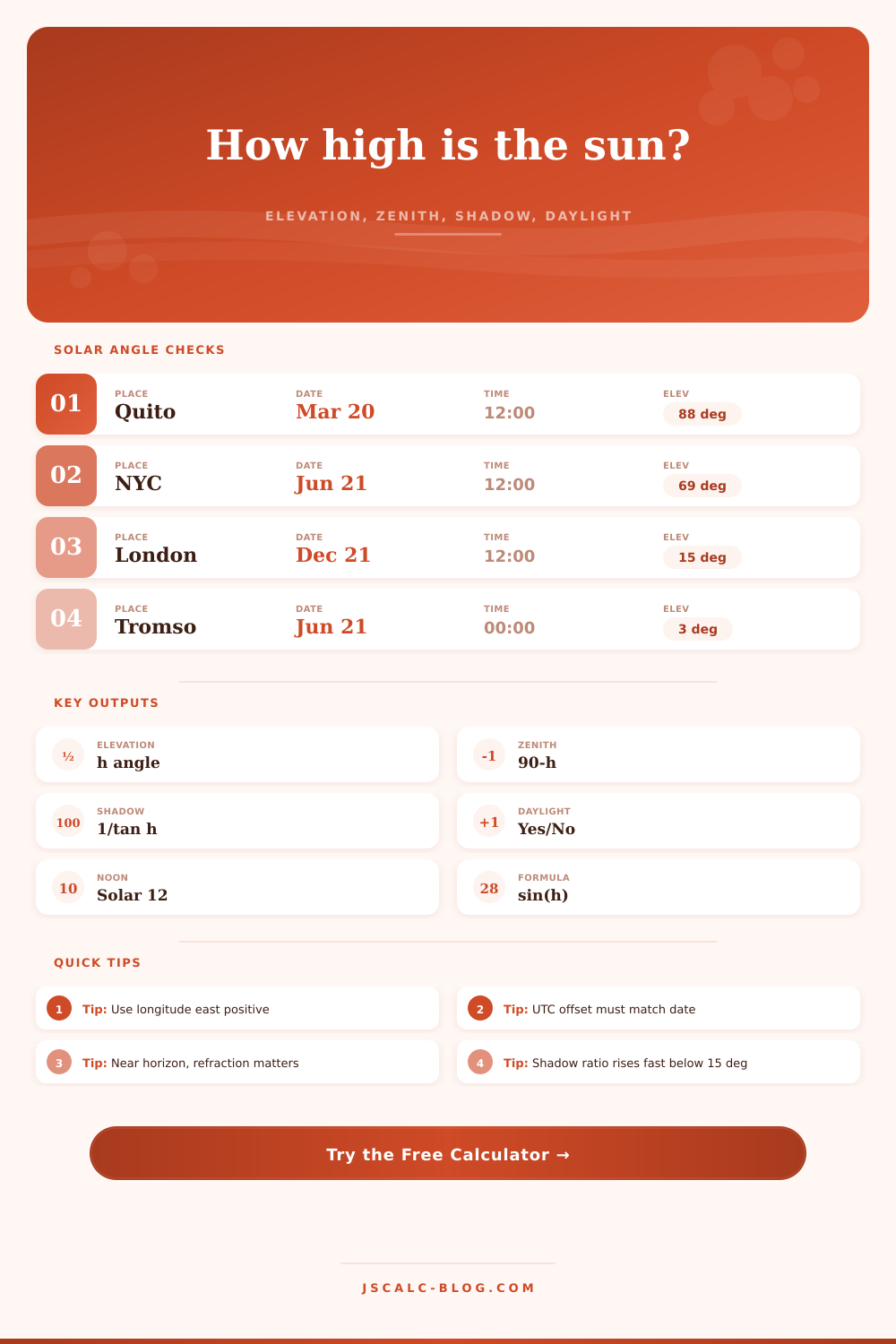
The other thing you’ll see is that there’s a set of presets for cities such as Quito or London. Those aren’t examples, they show how wildly different the solar geometry can be. For example, in London, even on the hottest day of summer, the sun stay very low in the southern part of the sky. Near the equator, as in Quito, the sun almost moves straight across the sky. That simple fact determine where windows go, what direction buildings face, and which materials to use. What might make an ideal roof in Sydney will be terrible in Reykjavik, because the angle of the incoming radiation is completely different.
You get the numbers from the tool, then you must figure out what those numbers mean for your project. The bottom line: The sun is not intuitive, though it’s predictable. Our minds are trained to think about it in terms of clocks, an average of the Earth’s motion, accounting for its irregularities and smoothing out the real daylight. When you break down the average by figuring out the exact elevation angle, you see past that and glimpse the reality. You can predict exactly when direct beam radiation hits a window, or when a garden enters shadow. It makes the sky a tangible thing, something to measure rather than merely an imprecise backdrop.
Now everything look a little sharper… Every design decision. The sun is no longer just light; it’s a series of angles.