Solar Azimuth Calculator
Calculate the Sun's azimuth from true north, compass direction, elevation angle, declination, hour angle, and the opposite shadow bearing for any latitude, longitude, date, and local time.
| Solar Geometry | Declination | Hour Angle | Typical Elevation Cue | Azimuth Pattern |
|---|---|---|---|---|
| March equinox noon at equator | Near 0° | 0° | Near 90° | Azimuth unstable near zenith |
| June solstice noon, Northern Hemisphere | +23.44° | 0° | Highest noon Sun of the year | Usually south at mid-north latitudes |
| December solstice noon, Southern Hemisphere | -23.44° | 0° | Highest noon Sun of the year | Usually north at mid-south latitudes |
| Before solar noon | Date-dependent | Negative | Rising or morning side | Eastern half of the sky |
| After solar noon | Date-dependent | Positive | Falling or afternoon side | Western half of the sky |
| Below horizon | Date-dependent | Any | Elevation below 0° | Azimuth is geometric only |
| Preset | Latitude | Longitude | Date and Time | UTC Offset | Why It Is Useful |
|---|---|---|---|---|---|
| Greenwich Equinox Noon | 51.4779° | -0.0015° | 2026-03-20 12:00 | +0 | Near-meridian Sun with equinox declination |
| New York June Morning | 40.7128° | -74.0060° | 2026-06-21 09:00 | -4 | Morning Sun with positive declination |
| New York Winter Afternoon | 40.7128° | -74.0060° | 2026-12-21 15:00 | -5 | Low afternoon winter Sun |
| Los Angeles Summer | 34.0522° | -118.2437° | 2026-07-15 17:00 | -7 | Western Sun and long shadow direction |
| Singapore Equinox | 1.3521° | 103.8198° | 2026-03-20 13:00 | +8 | Near-equatorial high Sun |
| Sydney December Noon | -33.8688° | 151.2093° | 2026-12-21 12:00 | +11 | Southern summer noon with Sun to the north |
| Reykjavik June Night | 64.1466° | -21.9426° | 2026-06-21 23:30 | +0 | Very low midnight-sun geometry |
| Tromso Polar Night | 69.6492° | 18.9553° | 2026-12-21 12:00 | +1 | Below-horizon winter geometry |
| Quito Overhead Sun | -0.1807° | -78.4678° | 2026-03-20 12:15 | -5 | Near-zenith equatorial case |
| Cape Town June Morning | -33.9249° | 18.4241° | 2026-06-21 10:00 | +2 | Southern winter morning Sun |
| Bearing Range | Compass Label | Main Direction | Shadow Opposite | Common Reading |
|---|---|---|---|---|
| 348.75° to 11.25° | N | North | South | Sun is toward true north |
| 33.75° to 56.25° | NE | Northeast | Southwest | Morning or high-latitude geometry |
| 78.75° to 101.25° | E | East | West | Near sunrise side of the sky |
| 123.75° to 146.25° | SE | Southeast | Northwest | Common morning Sun north of tropics |
| 168.75° to 191.25° | S | South | North | Typical solar noon direction in mid-north latitudes |
| 213.75° to 236.25° | SW | Southwest | Northeast | Common afternoon Sun north of tropics |
| 258.75° to 281.25° | W | West | East | Near sunset side of the sky |
| 303.75° to 326.25° | NW | Northwest | Southeast | Evening or high-latitude geometry |
| Symbol | Meaning | Unit | Sign Convention | Calculator Source |
|---|---|---|---|---|
| phi | Observer latitude | degrees | North positive | Latitude input |
| lambda | Observer longitude | degrees | East positive, west negative | Longitude input |
| delta | Solar declination | degrees | North of celestial equator positive | Date model or manual input |
| H | Solar hour angle | degrees | Morning negative, afternoon positive | Solar time or manual input |
| e | Solar elevation | degrees | Above horizon positive | Trigonometric result |
| A | Solar azimuth | degrees | 0° north, 90° east | atan2 result normalized to 0–360° |
| EOT | Equation of time | minutes | Added to clock minutes in date mode | Fractional-year approximation |
| Shadow | Opposite bearing | degrees | Sun azimuth + 180° | Normalized to 0–360° |
Where’s the Sun? That’s not a question for “looking up” as much as it is a precise geometric factor in photography, architecture, and solar energy. Depending on the date and our location on Earth, it shift by degrees each minute. Get this wrong, and you cast unwelcome shadows… Or miss out on sunshine. Let the calculator do the math … but understand what the numbers are telling you so you can make good choices.
Solar geometry boils down to three things: latitude (position in relation to the equator), longitude (accounting for time zones) and UTC offset (which can be tricky, particularly when accounting for daylight saving time). Get this wrong, even by an hour, and you will move the sun fifteen degrees. That shift alter a panel’s position from facing south to facing east. Enter the offset for that specific date, not just standard time zone.
Understanding Sun Positions and Shadows
The other number, the one that really defines the seasons, is declination: how far above or below the earth’s equator a line drawn from us to the sun runs. That swings yearly between twenty-three point four four degrees north and south of the equator line. In June the sun lift high overhead (because the Northern Hemisphere is tilted toward it); in December, it dip low. Entering the calendar date will cause the tool to estimate this; you can also enter it by hand if you want. This is what account for changes in day length and strength.
The other thing is hour angle: how far off is the sun from what we call solar noon? (That’s not necessarily 12 o’clock.) That depends on an equation called the equation of time, which factors in the fact that Earth is tilted and orbits in an oval, not a circle. The calculator do the conversion from clock time to true solar time and then calculates this angle. Before noon, it’s negative (meaning the sun is in the east). After noon, it’s positive (the sun is in the west), which has implications for analyzing shade. A western wall receive full-on afternoon sunlight, while an eastern one gets softer morning light.
The azimuth (measured from true north clockwise) indicates which way the sun is shining. North = zero degrees; East = 90; South = 180; West = 270. For mid-latitude locations in the northern hemisphere the sun will be located in southern part of the sky. For those in the southern hemisphere it will be up north. Closer to the equator, the azimuth may quickly change as the sun pass overhead. The calculator handles this situation with a constant bearing.
Opposite of the sun’s azimuth is your shadow direction. When the sun is at forty-five degrees, your shadow will point in the direction of two hundred twenty-five degrees. In city planning, this is important because you need to know which direction shadows will fall to avoid covering solar arrays or properties.
Geometric altitude describes height of the sun over the horizon. Short and sharp shadows occur with a high elevation. Long and diffuse shadows result from a low elevation.
True north is not magnetic north. True north is related to the rotation of the earth’s axis and is used when we do solar calculations. Magnetic north is what the compass point toward and changes with time and place. If you use a physical compass, you’ll need to adjust for local magnetic declination to correct for this. This adjustment is small, but important if you need to be exact.
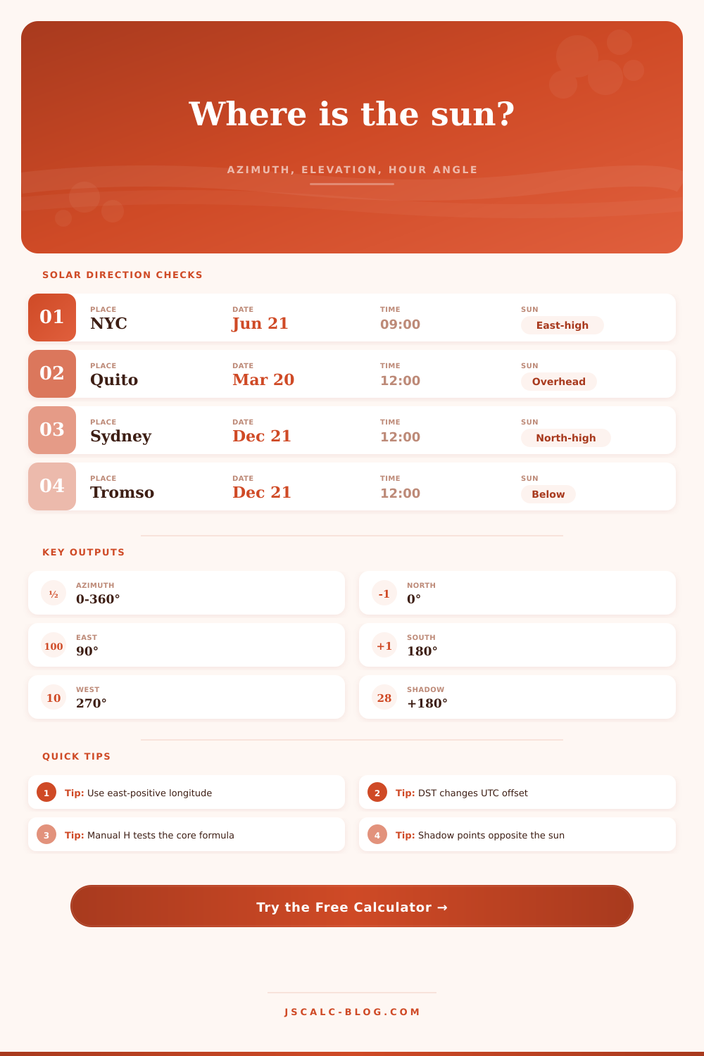
Here’s what that looks like in the reference table. It allows you to see where the sun is positioned at different times and latitudes. If you entered data manualy, you can use this table to check that it is correct.
When doing an install on your roof, for example, you’d want a direct heading and high elevation. If you’re photographing, perhaps you are looking for low angle shots from sunrise and sunset; that light is going to be soft and warm. Actualy, you should of wanted a direct heading for best results. It is all about light and solar geometry.
If you want to place your dish, design your house or determine where things will be shady in the garden, solar geometry predicts light. It doesn’t matter what year it is; the sun moves predictably across the sky. Once you understand how time, date, and latitude play a part, you begin seeing patterns in the shadow play. Even though we can’t always trust the clock, we can trust the sun.