Altitude and Azimuth Calculator
Convert right ascension and declination into local horizon coordinates using UTC time, observer position, sidereal time, and a north-based azimuth.
Sidereal step: Julian Date is computed from the UTC date and time, GMST is found from days since J2000.0, and local sidereal time is GMST plus longitude divided by 15.
Hour angle: HA = LST - RA. Positive hour angle means the target is west of the local meridian; negative hour angle means it is east of the meridian.
Altitude: sinAlt = sinDec sinLat + cosDec cosLat cosHA, then altitude = asin(sinAlt).
Azimuth: azimuth is normalized from north using atan2(-sinHA, tanDec*cosLat - sinLat*cosHA), then wrapped into 0 to 360 degrees.
| Object | Right Ascension | Declination | Sky Notes | Preset Match |
|---|---|---|---|---|
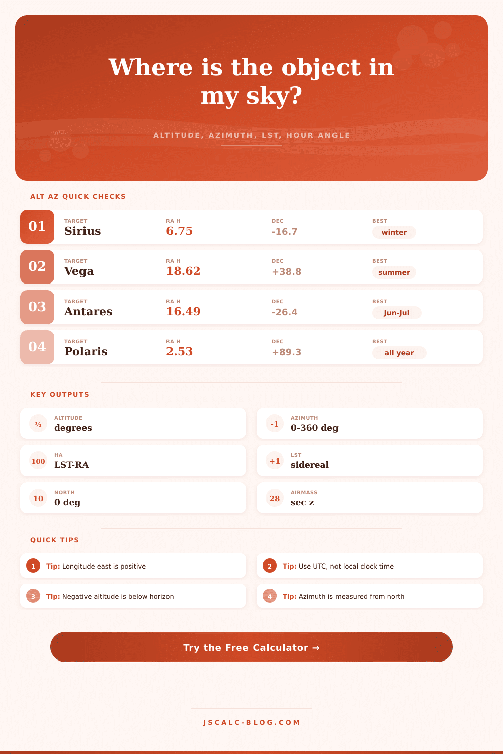
| Sirius | 6.7525 h | -16.7161° | Bright winter star | New York |
| Polaris | 2.5303 h | +89.2641° | Near north celestial pole | Seattle |
| Vega | 18.6156 h | +38.7837° | Summer Triangle star | London |
| Antares | 16.4901 h | -26.4320° | Low for many north sites | Sydney |
| Betelgeuse | 5.9195 h | +7.4071° | Orion shoulder | Tokyo |
| Canopus | 6.3992 h | -52.6957° | Deep southern star | Cape Town |
| Deneb | 20.6905 h | +45.2803° | Northern Milky Way | Chicago |
| Alpha Centauri | 14.6601 h | -60.8339° | Southern circumpolar for some sites | Santiago |
| Rigel | 5.2423 h | -8.2016° | Blue star in Orion | Reykjavik |
| Bearing | Direction | Telescope Meaning | Rise or Set Context |
|---|---|---|---|
| 0° | North | Aiming toward the north point | Northern circumpolar reference |
| 45° | Northeast | Between north and east | Common rising quadrant |
| 90° | East | Aiming at the east point | Most objects rise near this side |
| 135° | Southeast | Between east and south | Good for southern winter targets |
| 180° | South | Local meridian for north observers | Often highest for many targets |
| 225° | Southwest | Between south and west | Common setting quadrant |
| 270° | West | Aiming at the west point | Most objects set near this side |
| 315° | Northwest | Between west and north | Northern setting quadrant |
| Altitude | Zenith Distance | Approx Airmass | Observing Quality | Practical Note |
|---|---|---|---|---|
| 80° | 10° | 1.02 | Excellent | Very short atmospheric path |
| 60° | 30° | 1.15 | Strong | Good for imaging and visual checks |
| 45° | 45° | 1.41 | Good | Typical comfortable observing height |
| 30° | 60° | 2.00 | Fair | More haze and extinction |
| 15° | 75° | 3.81 | Low | Bright objects only in many skies |
| 5° | 85° | 10.3 | Difficult | Horizon clutter and refraction matter |
| Quantity | Symbol | Units | Calculator Use |
|---|---|---|---|
| Right ascension | RA | hours | Object east-west coordinate on the celestial sphere |
| Declination | Dec | degrees | Object north-south coordinate on the celestial sphere |
| Local sidereal time | LST | hours | Right ascension crossing the local meridian now |
| Hour angle | HA | hours or degrees | LST minus RA, converted to angle for trig |
| Altitude | Alt | degrees | Angle above or below the horizon |
| Azimuth | Az | degrees | Compass bearing normalized clockwise from north |
| Latitude | Lat | degrees | Observer north-south position on Earth |
| Longitude | Lon | degrees | Observer east-west position; east positive here |
A lot of times you get your telescope out, line up on the stars, look around and find the object you wish to observe is now behind some fence. That’s what happens to many an observer. It’s typically a matter of failing to consider how setup of your own situation will affect that night. The fact is the sky turns around and you can’t just guess at angles involved. You may remember that this or that constellation “should” be there, but the Earth turned while you weren’t looking. That means that you need to take those fixed coordinates from the heavens and convert them to what you see in your own back yard’s view of the horizon.
Enter the calculator. It takes Right Ascension and Declination and converts them to Azimuth and Altitude. Right Ascension is similar to longitude except it’s measured in hours. And Declination is similar to latitude except it’s a measure of how far north or south something are. These numbers stays the same for any observer on Earth. Azimuth and Altitude is local to you. Altitude is how high thing will be. Azimuth is compass direction from true North. There is a difference between global and local.
How to Use the Star Calculator
The biggest mistake people make is getting the time wrong. Because the earth both orbits the sun and spins around its axis, solar time differ from sidereal time. Our planet’s spin cause the stars to move roughly four minutes per day westward. That means that if you don’t use Coordinated Universal Time but instead reference local clock time, you’ll be incorrect. To calculate things correctly, tool needs to know UTC for one thing (to base itself on). Then it will take your longitude into account and arrive at your Local Sidereal Time. Next, it computes the Hour Angle. An Hour Angle with a plus sign indicates that the target is already past your meridian, moving west. A minus sign mean it hasn’t yet climbed over the eastern horizon. You want to intercept objects when they’re high, not when they’re low in twilight.
Your perspective on things depends on where you are. Your line of sight has to pass through some amount of air to get from your eyes to the object you’re looking at. How much depends on Airmass. The calculator guesses this number. If thing you’re looking at is directly over head, then you’re looking through one unit of atmosphere. If it’s close to the horizon, then you’re looking through a lot more. It might be ten times more if it is ten degrees up from the horizon. That light gets scattered around and makes it harder to see details. As the seeing altitude goes down, so does quality of your observations (see table). Ideally, try to point your scope above thirty degrees for sharp images. Below that, you’ll start losing detail because of atmospheric extinction.
Another variable is refraction. As light travels toward the ground, it moves into denser air at or close to the horizon which causes light to bend. That means that things seem higher on the horizon then they really are. The calculator corrects for refraction. It’s only a slight adjustment in the zenith direction and quite large around the horizon. Without correcting for refraction, the rise time you calculate would of been incorrect. When math says that a star should already be out, you may find yourself looking up and seeing nothing.
Use the pre-set buttons and play with the calculator. Calculate Canopus from Cape Town, and compare that to Polaris from Seattle. Latitude alters what you’re able to see, some stars simply never set, while others is always obscured from view. It prepares you, and makes the sky into something schedulable. No more wandering around wondering where to point. Where is highest thing? What direction should I go? How high should I tip my scope? And yes, you even make allowances for the fact that the globe rotates and there might be things in the way locally.
This thing plugs that gap. It provides you with a map for the evening. It is a chance to catch the best of what’s out there.